Montgomery County, AR.
Churches & Cemetery Gateways
Head for the tallest trees, since trees in cemeteries
are seldom logged.
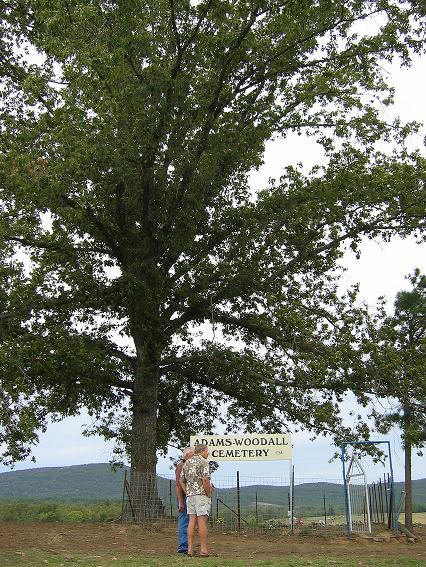
The Adams-Woodall Cemetery lies on top of a knoll in the middle of a beautiful
green pasture with a majestic old oak tree standing guard.
The descendants of the Adams and Woodall families repaired the fence & gate in
2006. Approximately 16 great grandchildren met at the cemetery for prayer,
visitation and reminiscing.
The scenery was beautiful as the forest trees in the surrounding hills were
changing to their fall colors. Maybe Louise Jane Adams chose this spot for
her beloved husband, William Franklin Adams just because it was so beautiful and
serene. He was the first person to be buried there in 1888. Photo courtesy
of Patty. Oct. 2006
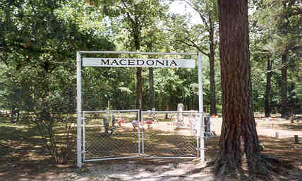
Macedonia: Located on Hwy 88 between Pencil Bluff and Sims.
No longer a church here. Transcription of graves Photo
credit. Olwyn, 1998.
Nelson Cemetery: Located in a community known as Hickory
Station surrounded by forest. From Glenwood, go north six miles on Mt View Rd to end
of tar-seal. The oldest marked grave, 1877, is a Nelson family member. This
active public cemetery is maintained with about 233 graves, 172 marked and approx. 61
unmarked. "Know all men by these presents that we, Archibald Nelson and Nancy
E. Nelson, his wife, for and in consideration of the sum of one dollar and other good and
valuable considerations to us in hand paid by Fielding Nelson and others interested in the
burial of the dead, to us in hand paid, with the understanding that said land is to be
used as a public burying ground...." All that part of NW� of
NE� of Section 24 Township 4 South range 24 West. 11 Nov., 1901. Warranty Deed recorded
in Deed Book K page 577. Photo credit
Angie
Knott.
Many cemeteries scattered around the county today were
usually established on high ground near a home site or at any convenient
place.
Late in the afternoon Dec. 2008, just finished transcribing the cemetery.
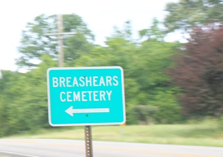
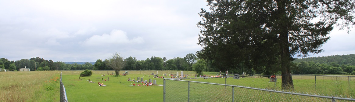
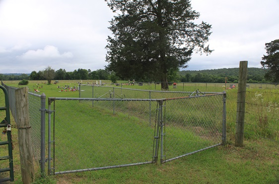
Breashears Cemetery is on a paved side road just
off Hwy 298 just after the church, one mile east of Story.
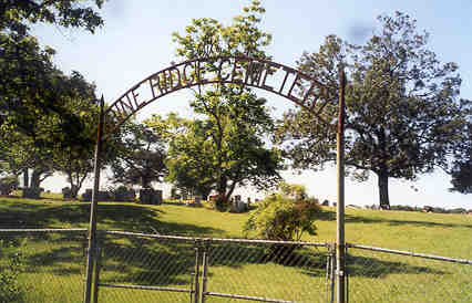
Pine Ridge: Near the Union and Baptist Churches of Pine Ridge.
Photo credit
Olwyn Whitehouse 1998.
Owley Church and Cemetery: Decoration day was the 3rd Sunday
in May. Photo credit Olwyn, June 2000.
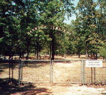
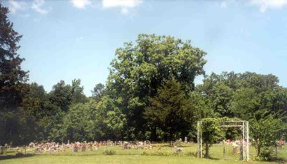
Oakwood Cemetery: Located six miles east of Story. Take first road on left after
crossing Irons Fork Creek. Go 1� miles. Photo credit Doug
Anderson.
A cemetery can be an outdoor museum with sculptures.
Rocky Cemetery: East of Sims. About 300 marked
graves. Land donated by W.P Hendry and C. H. Chapmond April 22, 1904. Photo
taken Nov. 2000.
Design a memorial yourself for yourself.
A cemetery does not have to be a collection of simple markers of a cookie cutter
design - the memorials can be elaborate cows, large guitars, dramatic quartz,
imaginative pickup trucks, an ice pick and climbing rope, a deer, a
sheet of music, leave something for the living to enjoy - rich and poor use your
imagination. Images can be sandblasted in stone or carved and they are!
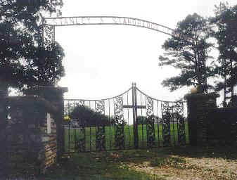
Stanley - Standridge Cemetery: East on Hwy 270 1 mile out of Mt Ida, take
the road just before the Forest Service, Womble Ranger Station.
Cemeteries show respect for the elders, for the dead and celebrate life.
.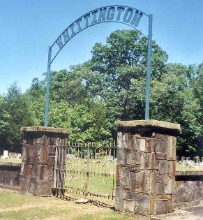
Whittington Cemetery: On Hwy 27 north toward Story. Transcription
Depending what you believe a cemetery
could be the end of a trail or the beginning of a new trail.
Montgomery County
ArkansasGenWeb Project