Around the Ouachita Mountains, Arkansas
Photos taken by Mark Simmons
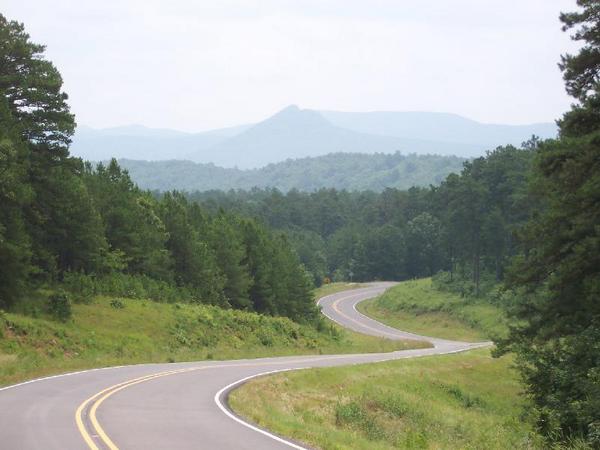
Forked Mountain - a view looking south on Highway 7 just a few miles from Hollis AR in Perry county.
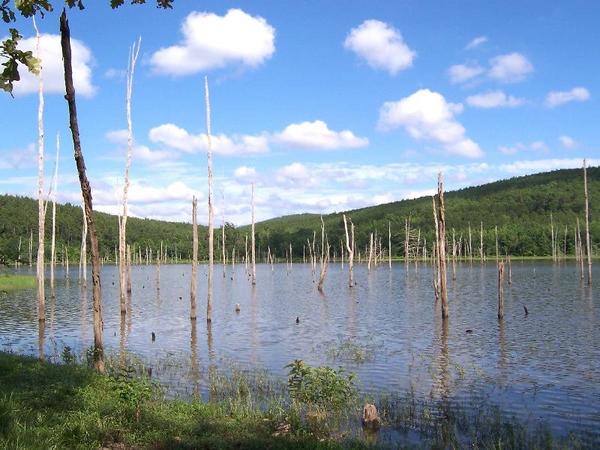
South side of Dry Fork Lake near Hollis AR.

Dry Fork Lake near Hollis AR. The dam is in the background.
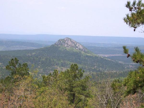
Forked Mountain north of Hot Springs near Hollis AR. Picture taken from the Winona Wildlife Management area.
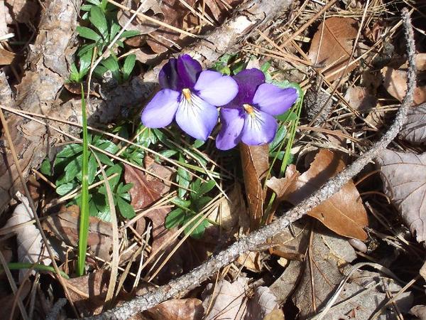
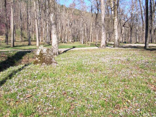
Flowers blooming near the Ouachita State Park (Three Sisters).
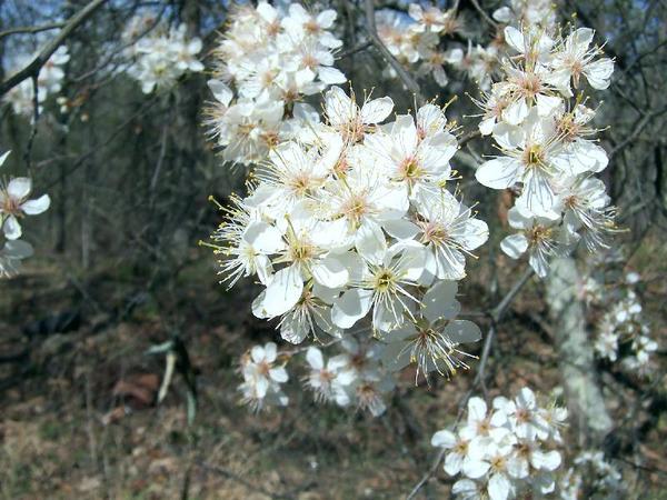
Wildflowers blooming near Collier Springs.
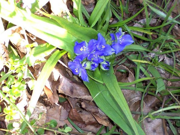
Wildflowers taken at Collier Springs.
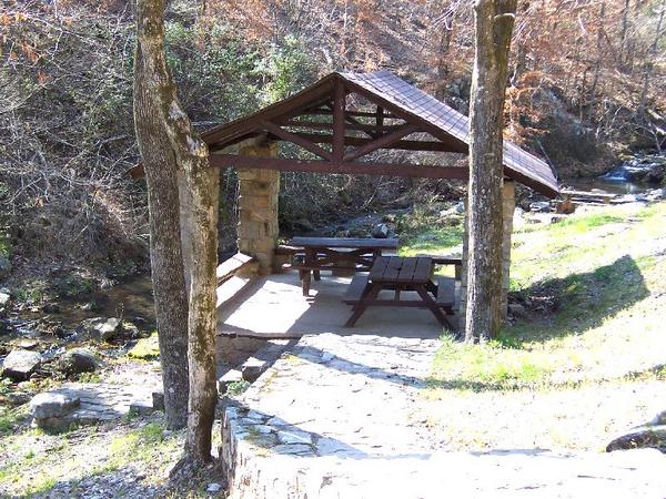
Collier Springs picnic/camping grounds located west of Hot Springs. It sits on the side of a very steep hill.
Crystal campground - secluded park down the road from Collier Springs.
Crystal campground on Forest Service Road 177 off Highway 270 near Hickory Nut Mountain.
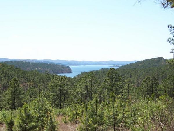
View of Lake Ouachita. This end of the lake is at the Ouachita State Park.
(Three Sisters Spring)
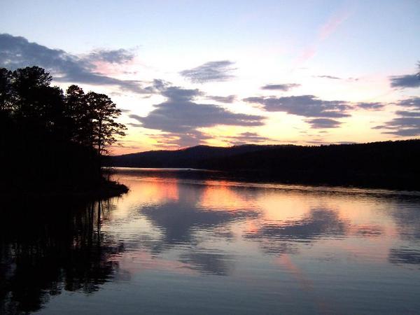
Sunset at the marina, Lake Ouachita State Park located near Mountain Pine AR.
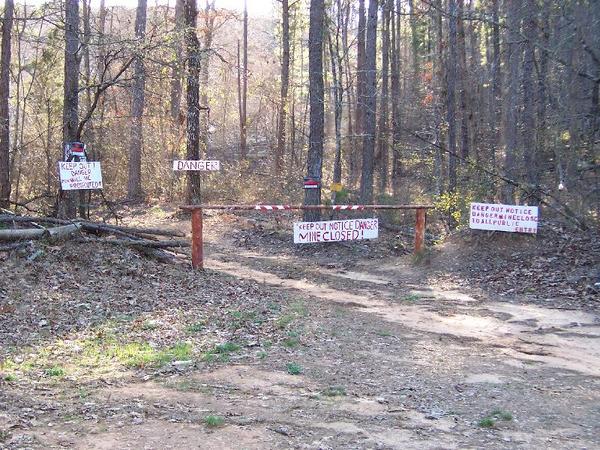
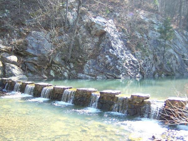
Mines in Ouachita National Forest, especially around Mount Ida.
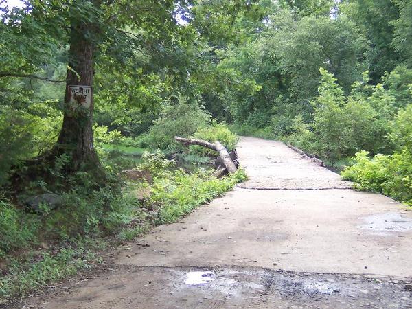
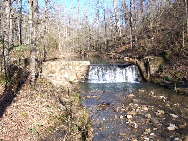
Shepherd's Ford - low water bridge. Both bridges are in pretty bad shape.
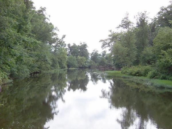
Fourche River
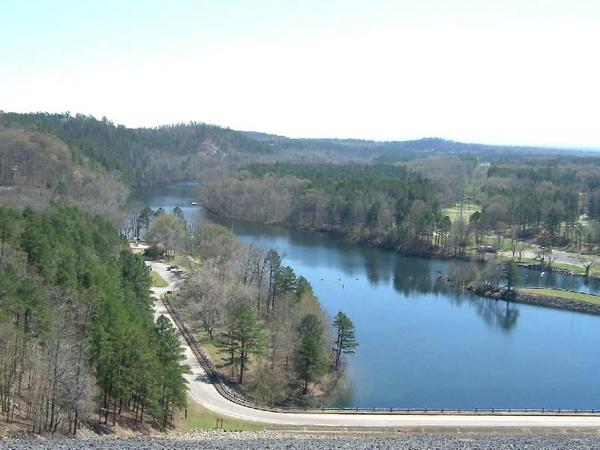
Blakely Dam on Ouachita River (Lake Hamilton) seen from the top of Blakely Dam located about 1 mile from Mountain Pine AR.
Iron Springs campground located north of Hot Springs on Highway 7, just a few miles north of Jessieville.
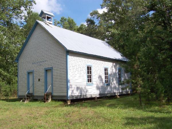
Hawks School - a one room schoolhouse of Hawkes School District No. 37 near Hollis AR.
The school, located on Sheperds Crossing Road, operated from 1911-1949 and listed in the National Historic Register.
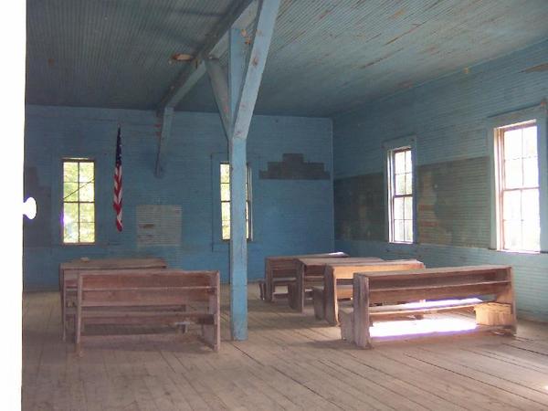
Hawks School - inside the building.

Hawks Cemetery - near Hollis AR on Shepherds Road off Highway 314.
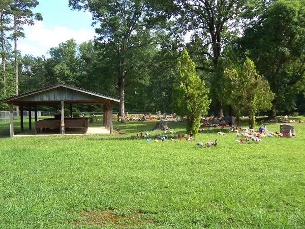
Hawks Cemetery
