Merritt Family of Peanut Ridge
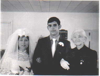
Wanda & Ron on July 4, 1970
and his great grandmother Hattie Merritt
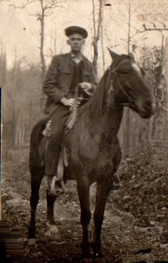
Buck Merritt, age 16 in 1920
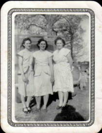
Merritt sisters, circa 1940
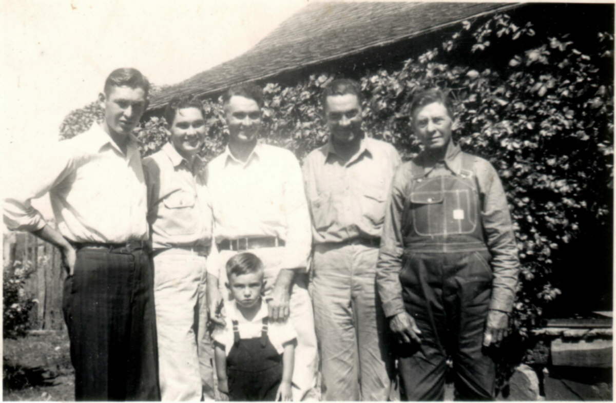
Merritts in the late 1940's
--photos courtesy Ron Busbea Meet the Merritt family of Peanut Ridge, whose ancestors came to White County in 1879. The photos were submitted by Merritt descendent Ron Busbea of Searcy, who is postmaster at Letona and a member of the White County Historical Society. The wedding photo is of Ron and Wanda Gault Busbea, taken on July 4, 1970. They were at 16th Section Church between Beebe and Searcy on Highway 367. Standing beside them is Hattie Merritt, Ron's great grandmother. Hattie was the mother of James Lee "Buck" Merritt, who is shown on the horse. The photo was taken around 1920, when Buck was about age 16. Ron says that Buck could pick a handkerchief off the ground with his teeth while at a gallop. (But he stopped doing it in later years when he lost his teeth!) Also shown are the Merritt sisters, Buck's daughters, around 1940. They are Odean, Augustine and Lorene. That photo was made at Smyrna, where Buck's family was living at that time. Hattie's husband was James, who is shown with their four sons at the old Merritt homestead east of Shiloh Church in an area called Peanut Ridge. From left to right: Preston, Parham, Ed, Buck, grandpa Jim and James. Where is Peanut Ridge? It is the ridge that you see several miles to the south as you go west from Searcy on highway 36 past Crosby Road going toward Center Hill. Or, if you are going toward Beebe on highway 267 it is the ridge to your right (north side). The most scenic way to get there is to go out Country Club Road West in Searcy, continue on and cross Bayou Des Arc at Mossy Point, then climb the hill until the road "T"s. Turning either right or left you are on Peanut Ridge. If you turn left the road goes to Copperas Springs (the intersection of highways 267 and 13, due north of McRae) If you turn left you eventually come out at Pleasant Grove (Roberson Cemetery) and on to Floyd. The Shiloh Baptist Church was founded in the 1870s and the south slope is sometimes called Shiloh. A couple of miles to the west is the Mt. Olive Church and Cemetery. The church was originally Methodist, but has been a community church for many years. There has never been a store in the area. The closest stores to the west would be Floyd, to the south McRae, and Searcy to the east. The Brundidge post office was on the western end toward Pleasant Grove. Old families in the area include the Lattures, McEuens, Tillys, and Lights. During the 1950s and '60s and even into the '70s the area was very thinly populated, but now lots of weekend ranchers have moved into the area. Students from the area go to either McRae or Beebe schools, but the district boundaries in the area are somewhat indefinite.