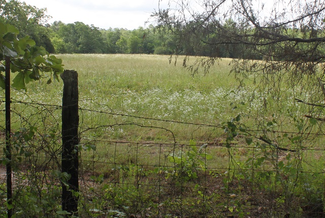
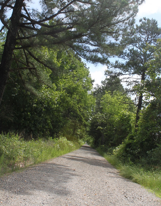
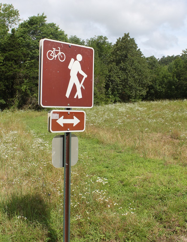
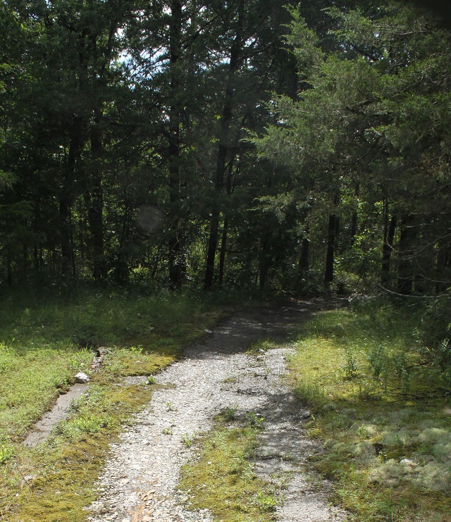
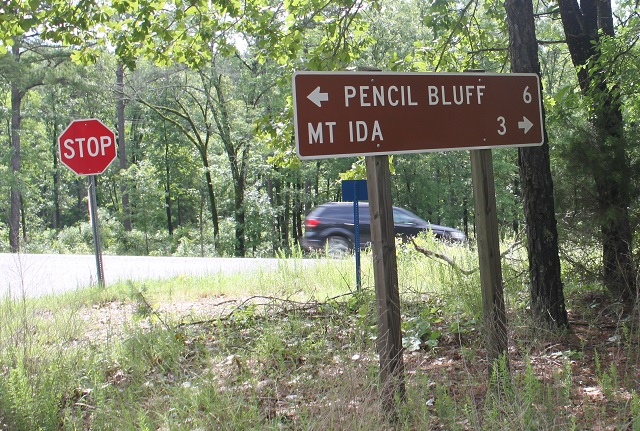
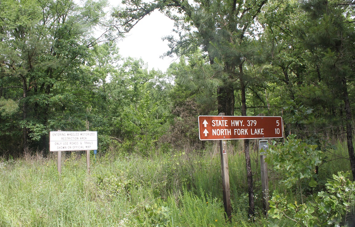
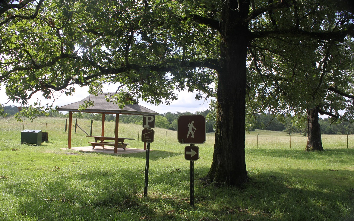
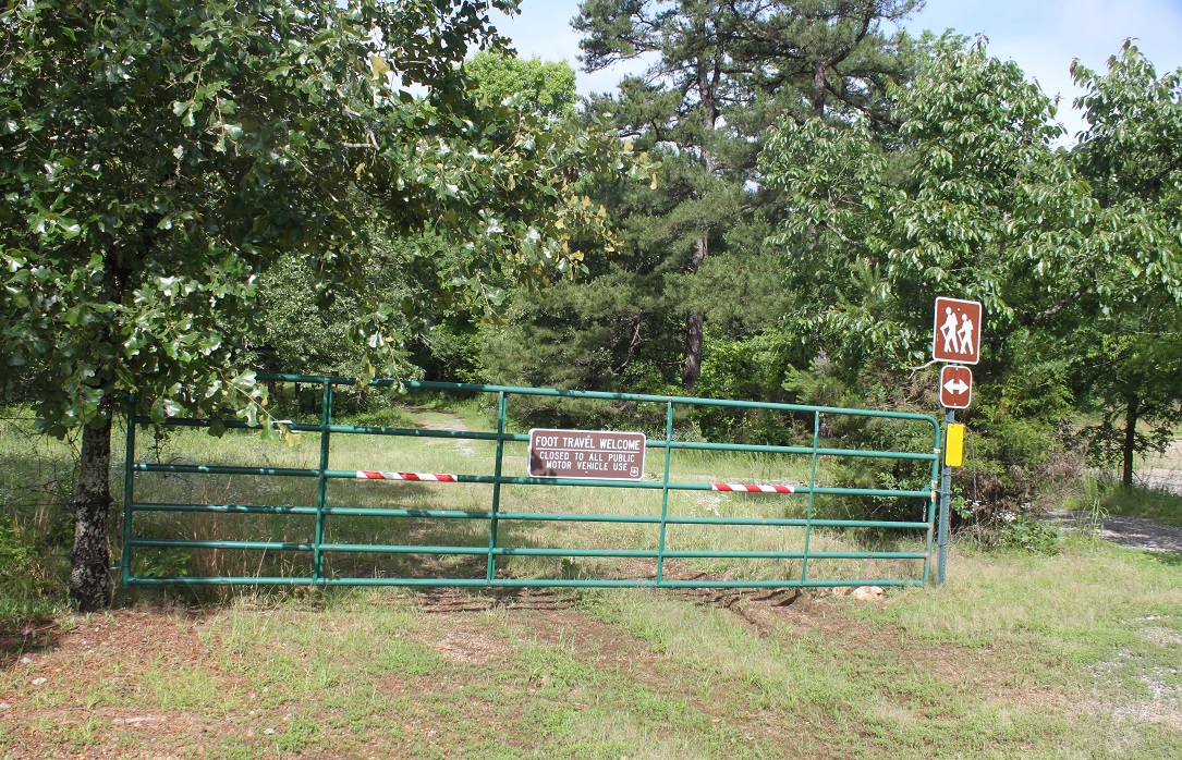
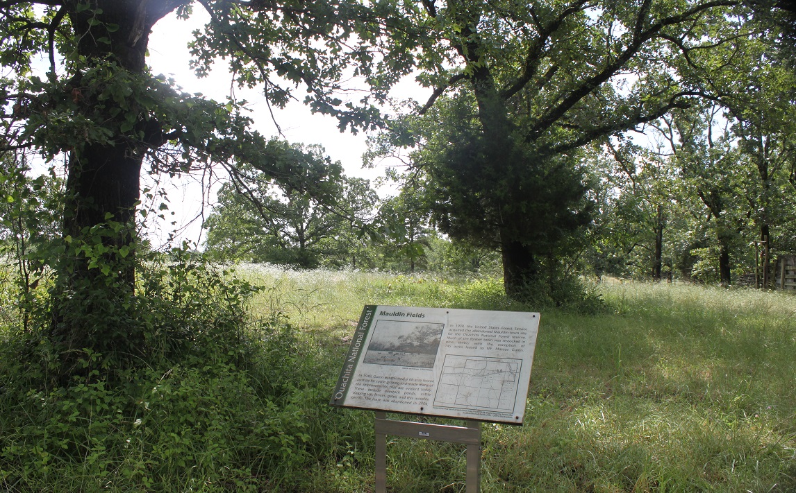
The Ouachita National Forest Service, Caddo-Womble Ranger District, out of Mt. Ida developed a walking trail at the old Mauldin site aka Mauldin Fields in 2014. It took me 45 minutes to walk the entire loop stopping frequently to read the eleven interpretive signs and take photos of wildflowers on 30th May 2015. Did not see any mammals and the only birds I saw were turkey vultures flying overhead. Select a day when the ground is dry. A parking area approximately 0.2 acres has a picnic shelter and two tables. Map. #11. Access is to the right of the gate at the picnic spot. The trail will be ideal for school groups to study local heritage, pond life and meadow habitats, noxious weeds, butterflies, autumn leaves and summer flowers. It is a flat trail that crosses numerous small creeks; a few are bridged with one step up. Approximately 0.5 miles of accessible and 1.5 miles of more primitive birding trails in the Mauldin Fields area.
Montgomery County, Arkansas
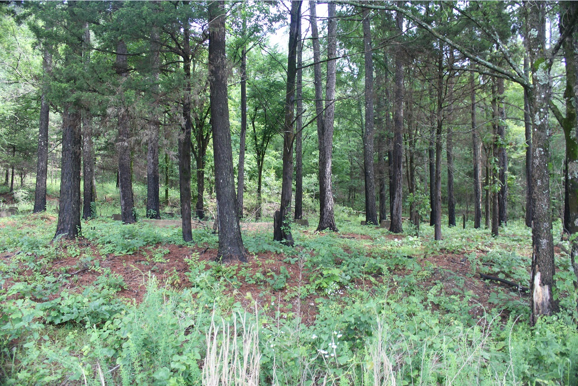
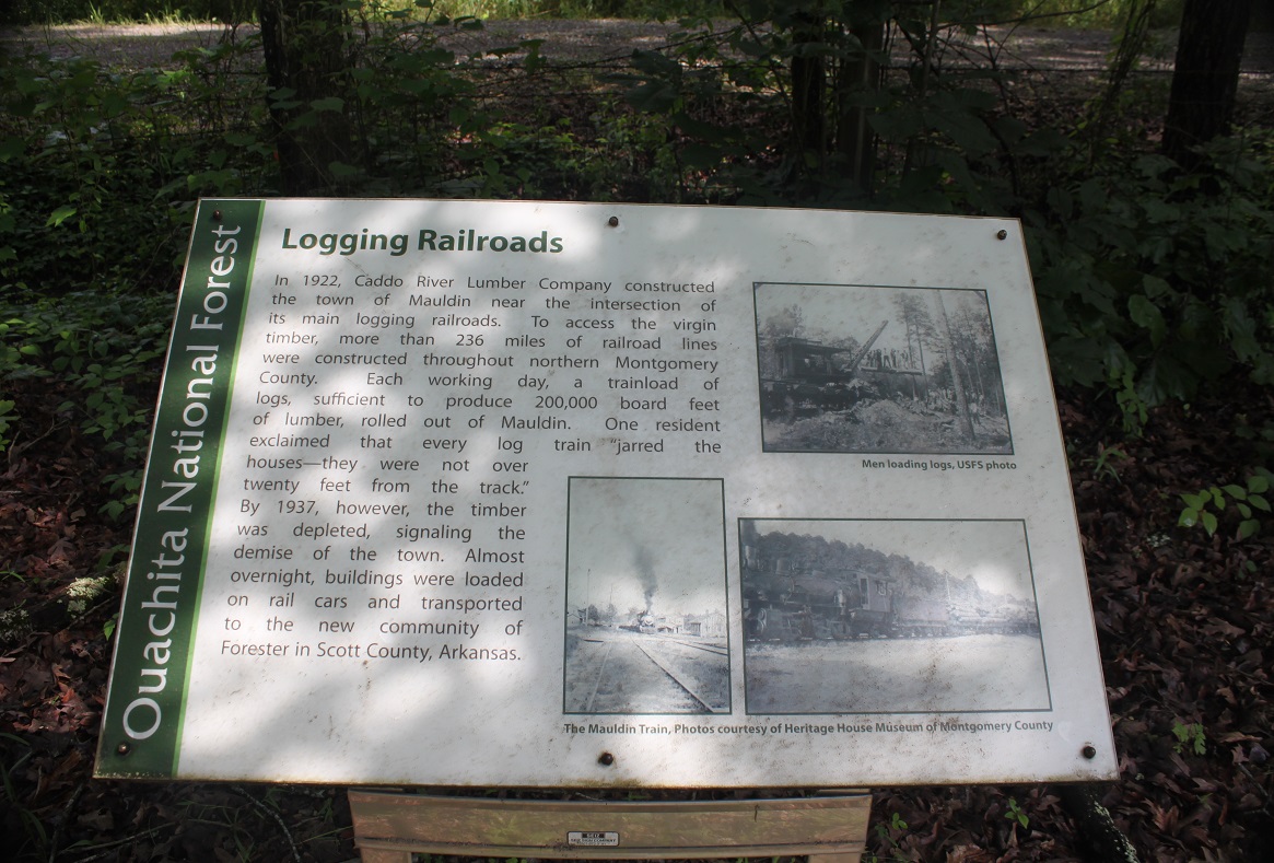
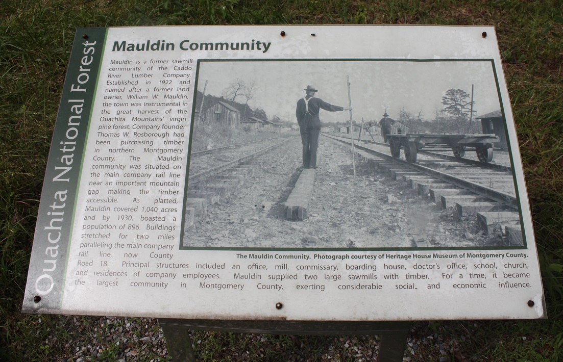
Mauldin, a former sawmill community of the Caddo River Lumber Company. Established in 1922 and named after a former land owner, William W. Mauldin, the town was instrumental in the great harvest of the Ouachita Mountain's virgin pine forest. Company founder, Thomas W. Rosborough, had been purchasing timber in northern Montgomery County. The Mauldin community was situated on the main company line, an important mountain gap making the timber assessable. As platted, Mauldin covers 1,040 acres and by 1930 boasted a population of 896. Buildings stretched for two miles paralleling the main company railway line.
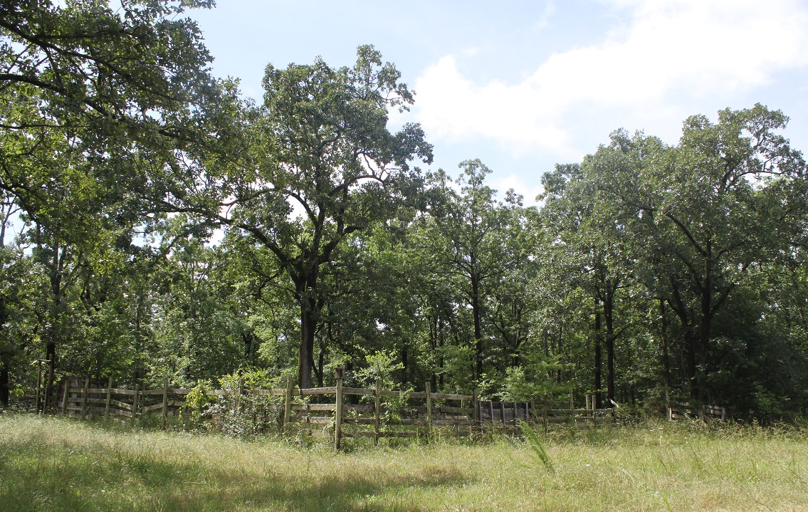
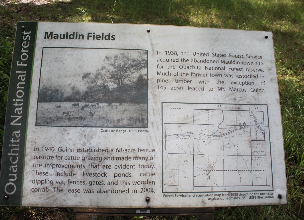
In 1940, Guinn established a 68 acre fescue pasture for cattle
grazing and made many improvements that are evident today. These include
livestock ponds, cattle dipping vat, fences, gates and the wooden corral. The
leased was abandoned in 2004. In 1938, the United States Forest Service acquired
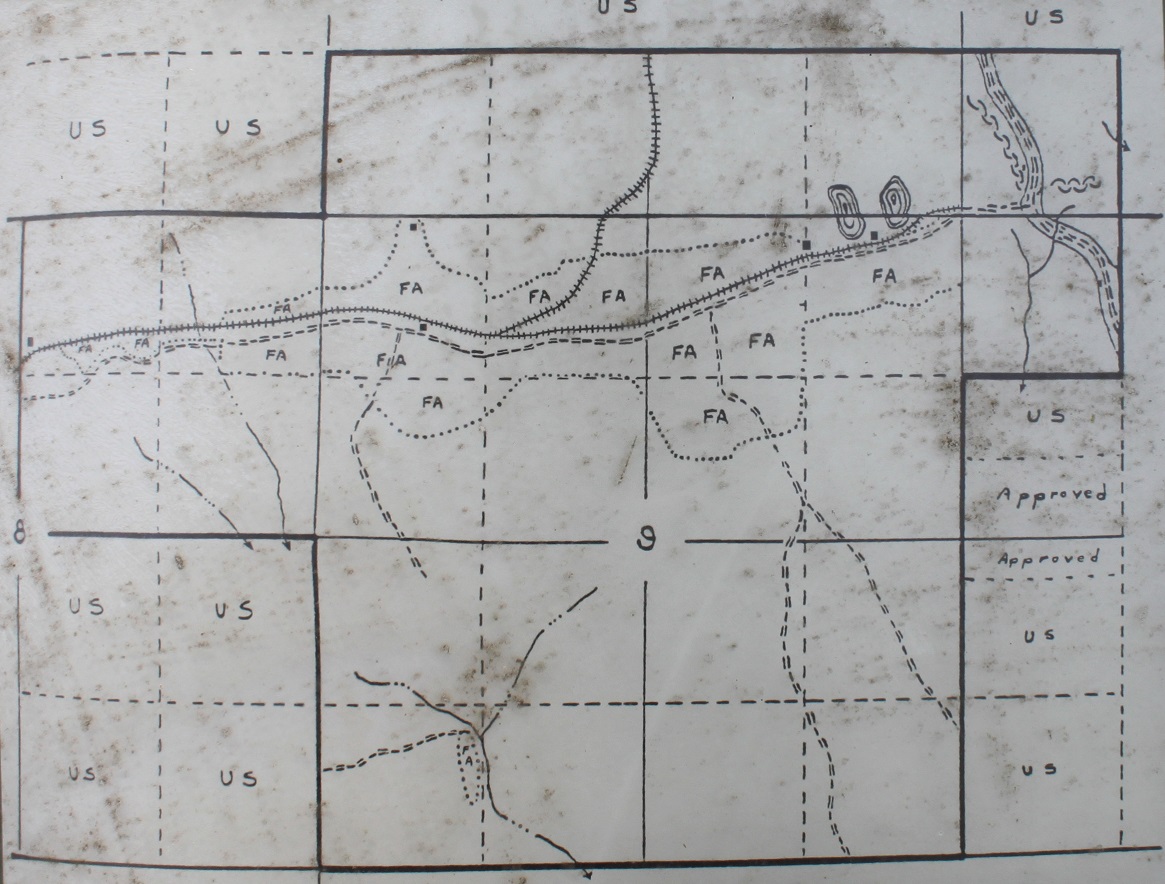
the abandoned Mauldin town site for the Ouachita National Forest reserve. Much
of the former town was restocked in pine timber with the exception of the 145
acres leased to Marcus Guinn.
Marcus Guinn born July 11, 1923in Mt. Ida Arkansas. 6 years old in the 1930 U.S. Census South
Fork, Montgomery County, Arkansas
Single, White, Male
Parents: Oscar R. Guinn and Bettie Guinn
Siblings: Hurshel, Olney (brother), Jewel M., Emma G., Emma J., and Madaline.
Concord Cemetery, Polk Co. AR.
Oscar R. Guinn b. Aug. 19 1884. Died Sept. 30 1962
Bettie Cole Guinn 1887 - 1958 Gone Home
![]()
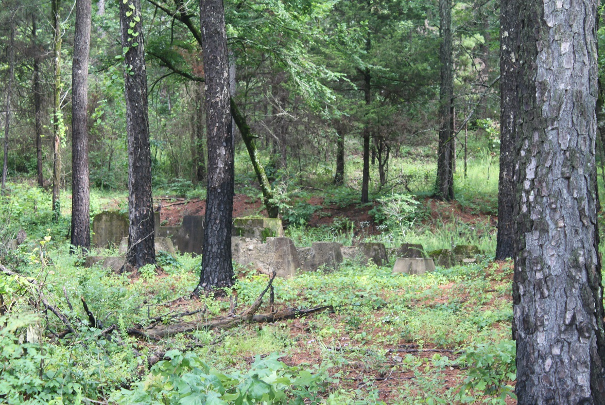
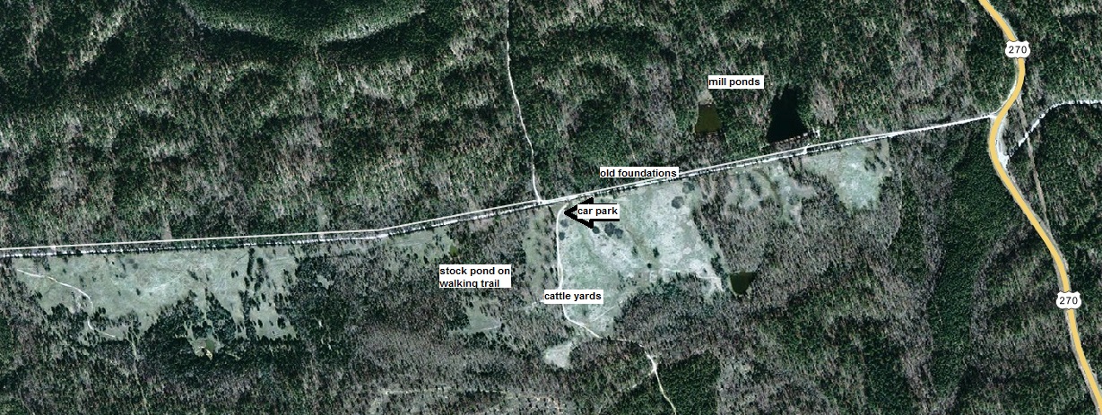
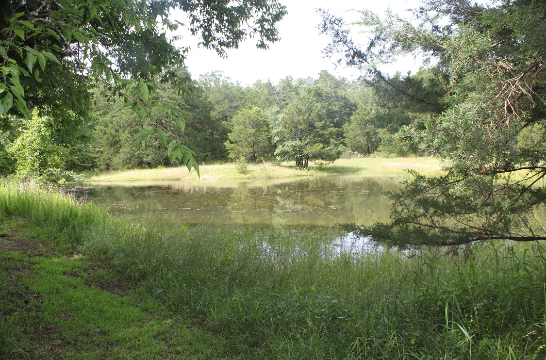
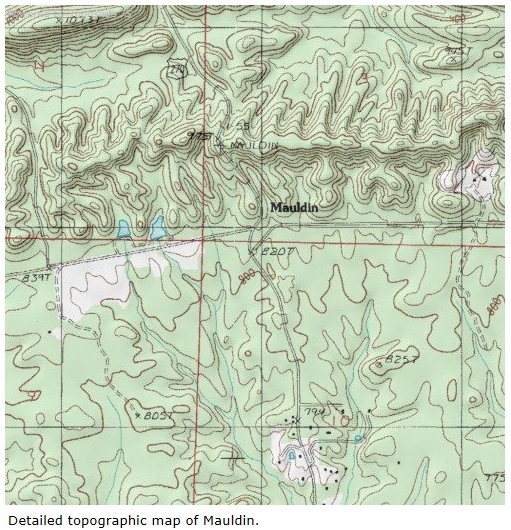
Location: Travel approximately 3 miles north-west of Mount Ida, AR on Hwy 270. Turn left down a gravel road, Forest Rd 37, at the bottom of climb over Mauldin Mountain. Rocky Shoals is on the other side of the hill. If you have gone that far you have missed the road, drive back over the hill. Mauldin Mtn. is on the Gaston mountain range. Drive slowly down the gravel road, travel pass a fishing sign, that is the location of the two Mauldin mill ponds now stocked, located 30 feet drive up a gravel incline, worth looking at, a delightful setting. Continue down the gravel road and you will see old concrete foundations in the trees to the right, part of the sawmill town. Continue and you will see the picnic shelter with two picnic tables and a large parking area, large enough for school buses. Map.
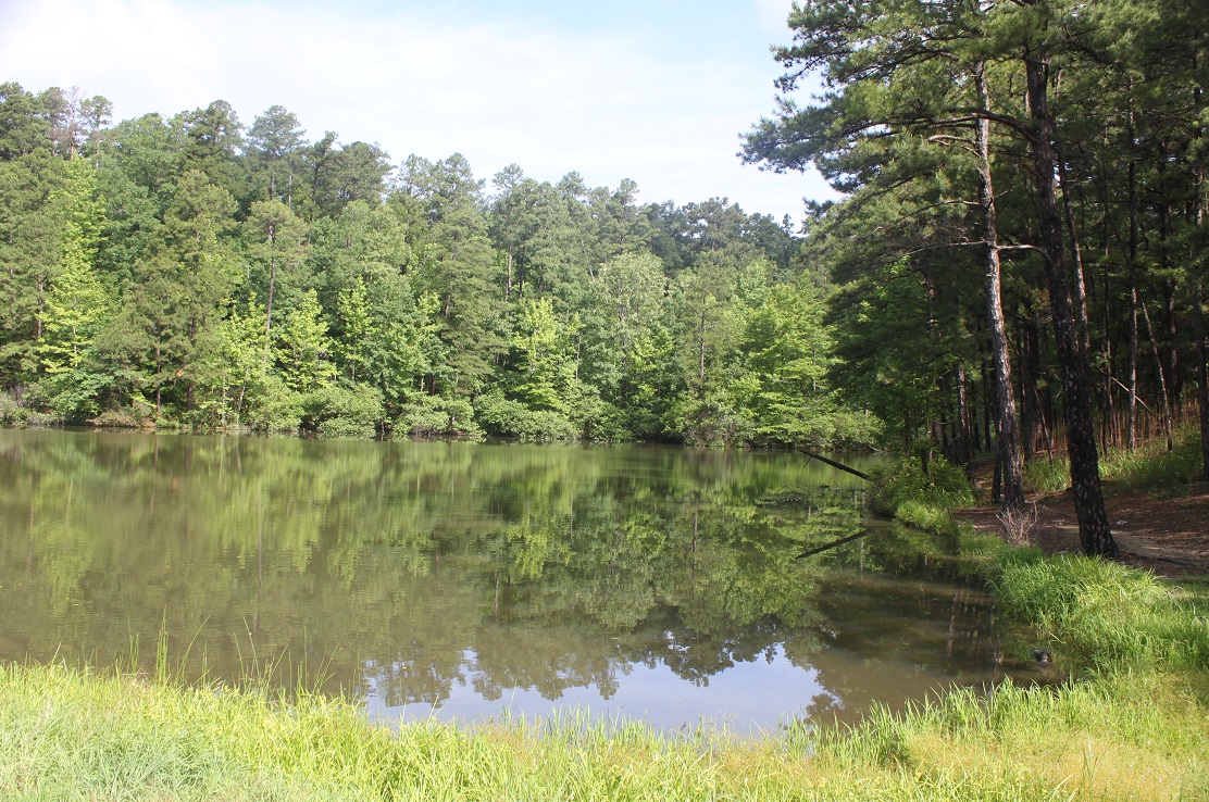
Mauldin Ponds
Species Present: Largemouth bass, sunfish, catfish
Seasons: All year
Access: Boat access only by hand launching.
Camping: No developed sites.
Comments: These two 1 acre ponds could be tough to fish as much of the shoreline
is heavily wooded. They have been stocked with channel catfish regularly.
District: Womble Ranger District
Map
Eleven Interpretive panels:
Mauldin Community
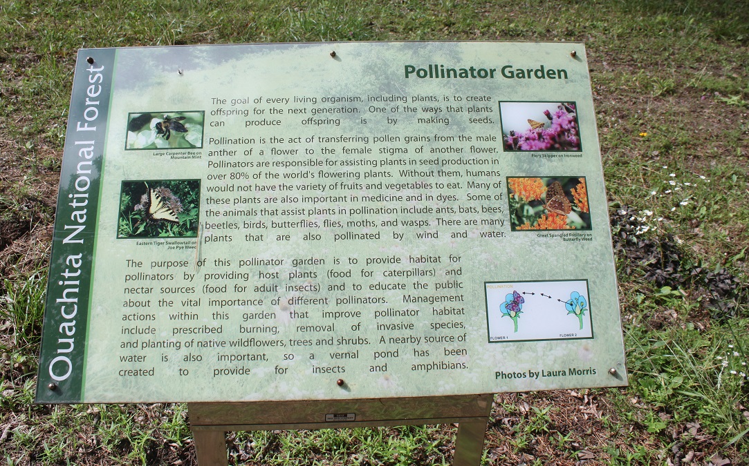
Pollinator Garden
Logging Railroads
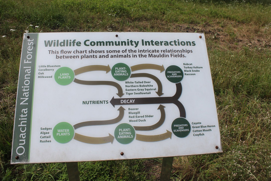
Wildlife Community Interaction
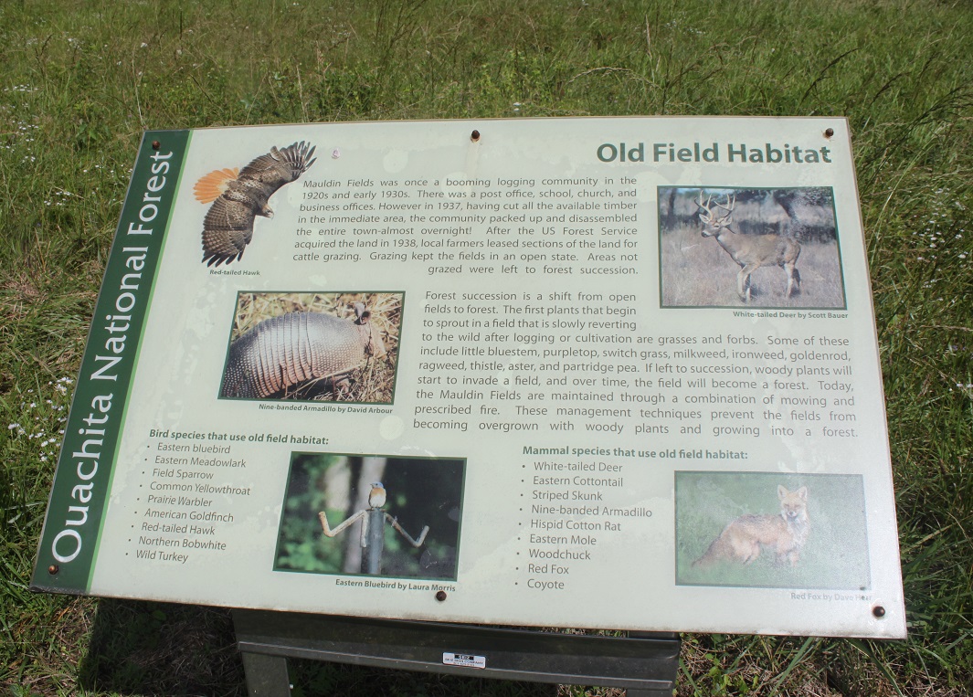
Old field habitat
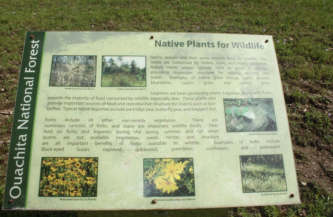
Native plants for wildlife
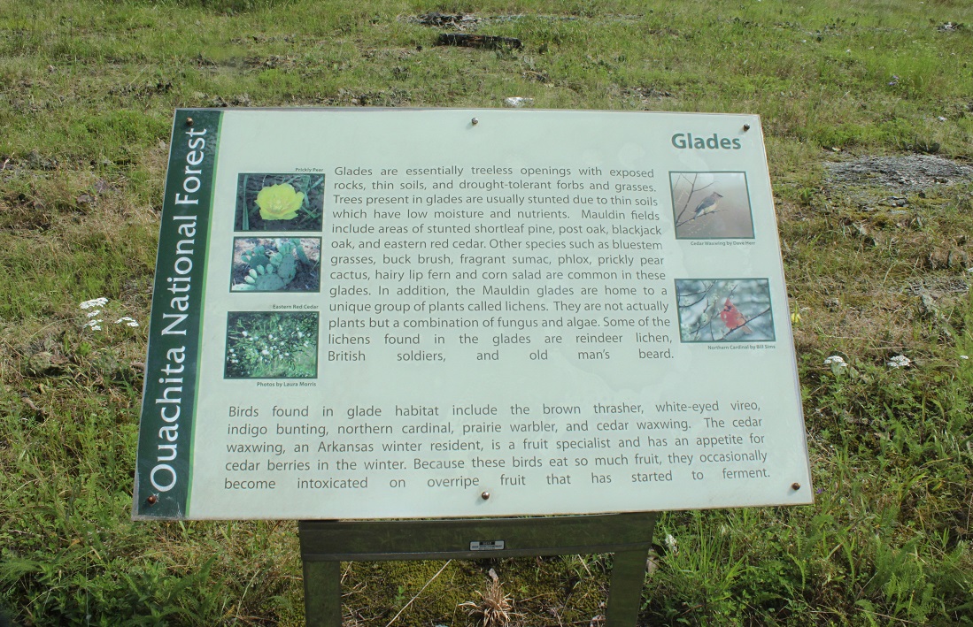
Glades
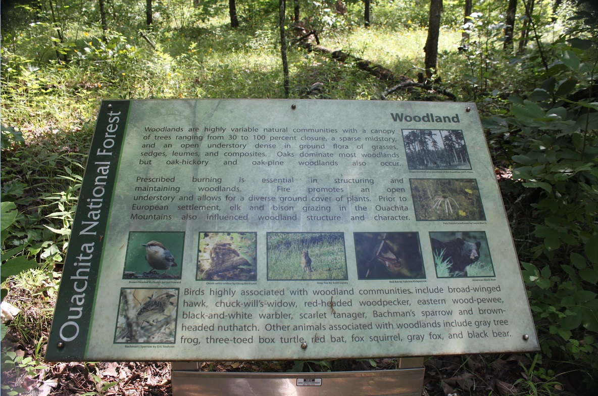
Woodlands
Maudlin Fields
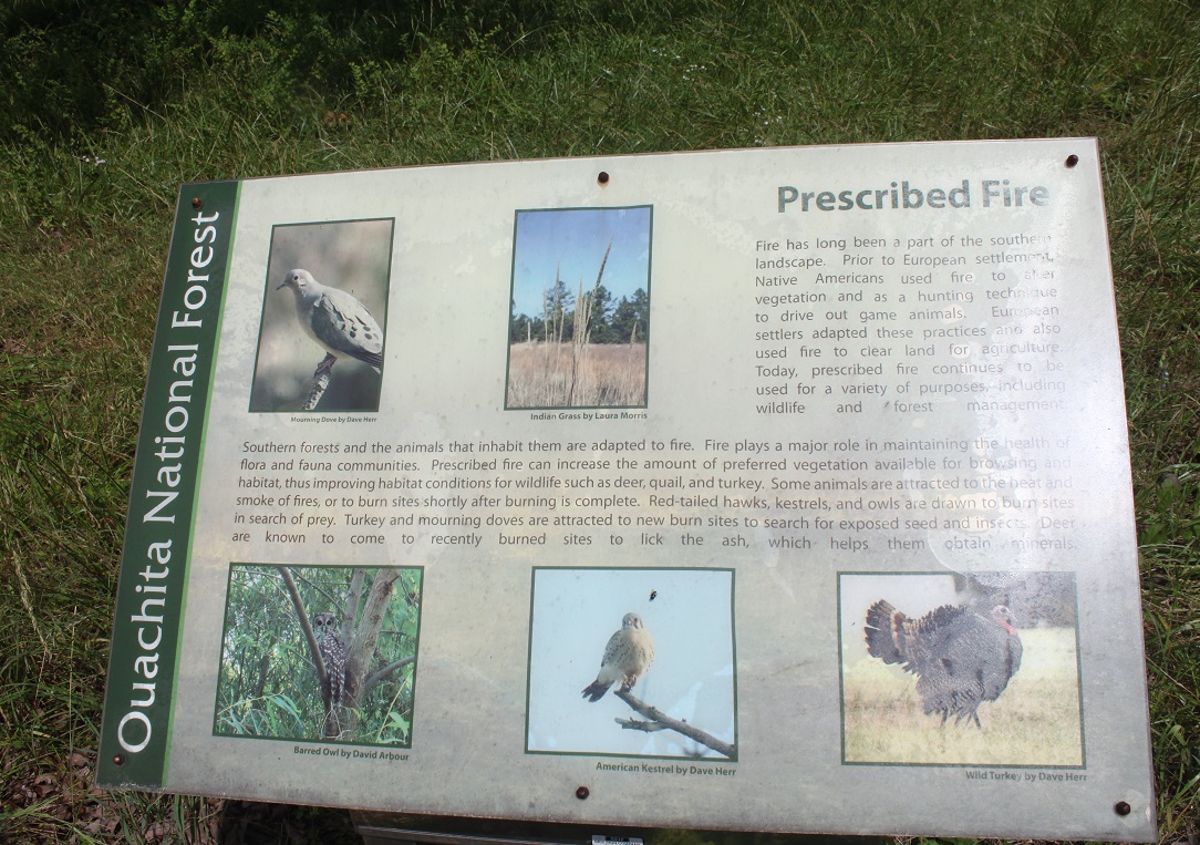
Prescribed burn
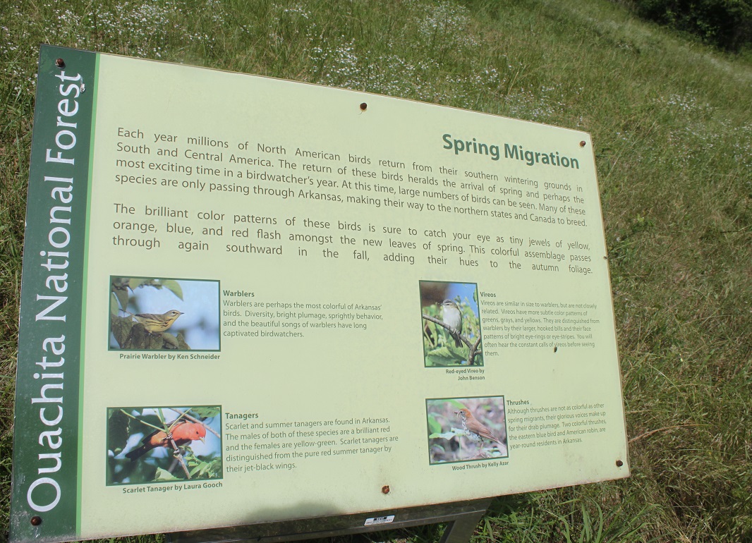
Spring Migration
Further Resources:
The Heritage House Museum in Mt. Ida has a white binder with copies of old photographs and recent
newspaper clippings related to the former Mauldin Community and the Maudlin
Fields. You will need to ask for it.
The Sentinel-Record 30 April 2015. Mauldin.
I recently happened upon a tract of land just 3 miles west of Mount Ida
... can embark upon a pleasant hike along an interpretive trail.
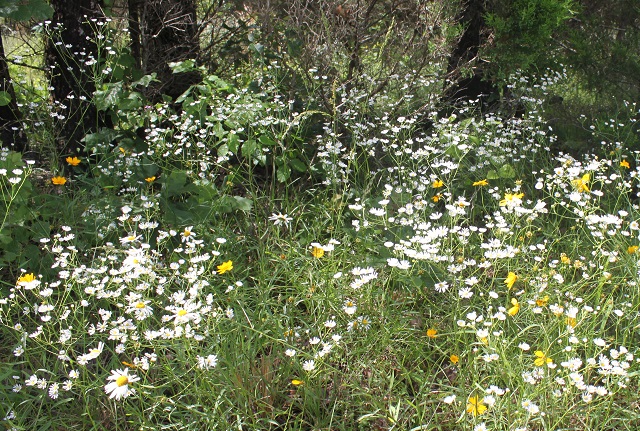
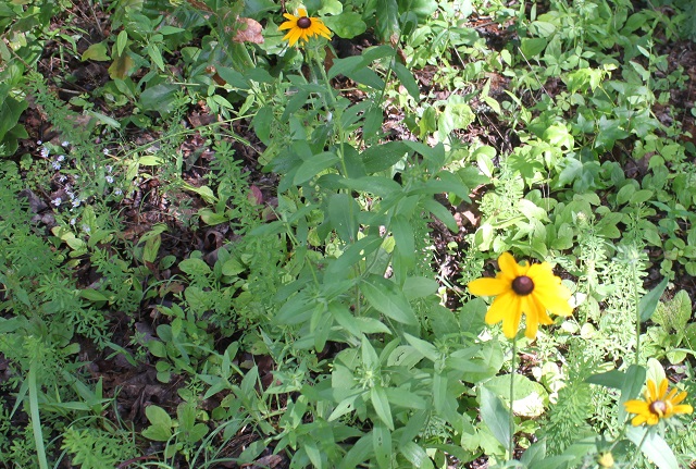
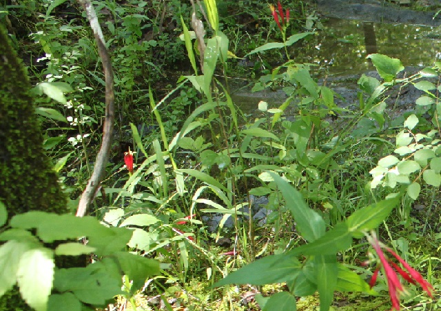
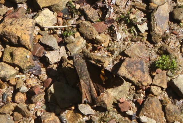
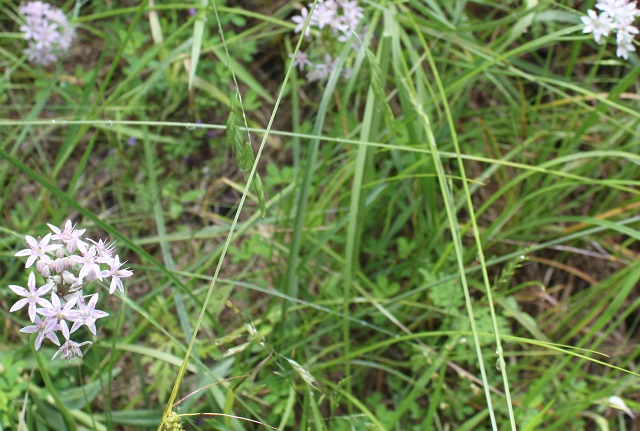
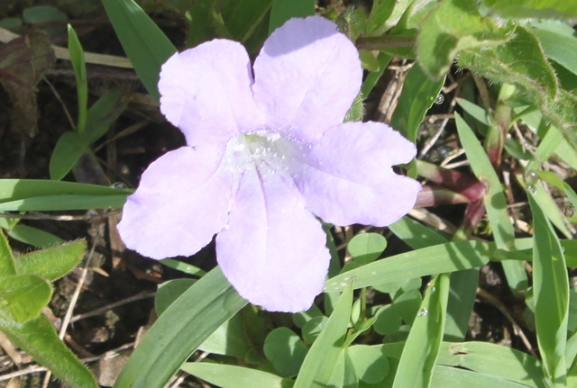
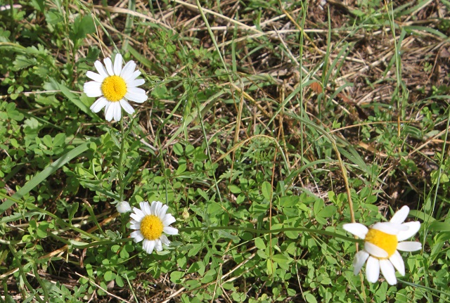

Oxeye Daisy with the Tickseed sunflower, Brown eyed Susan coneflower, Eastern
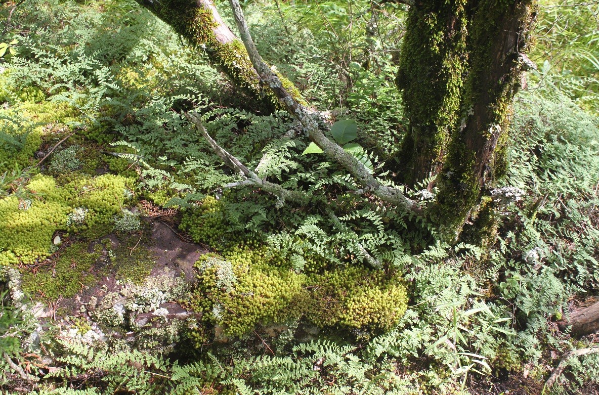
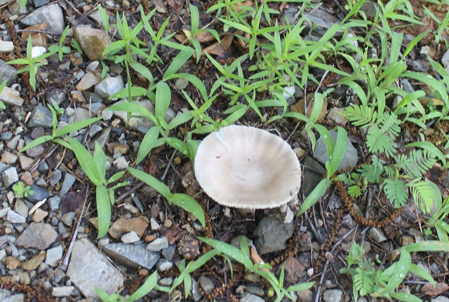
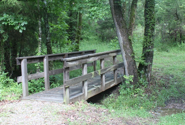
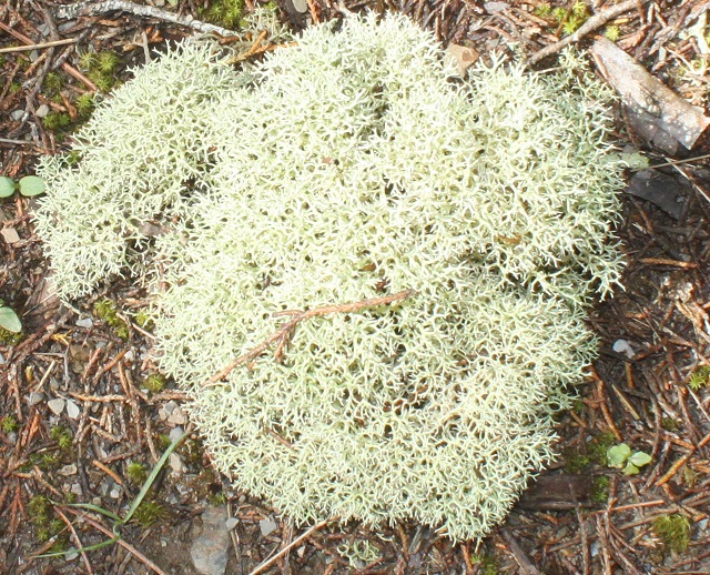
Red Columbine or Wild Columbine, _____butterfly, moss, pond, mushroom, bridge,
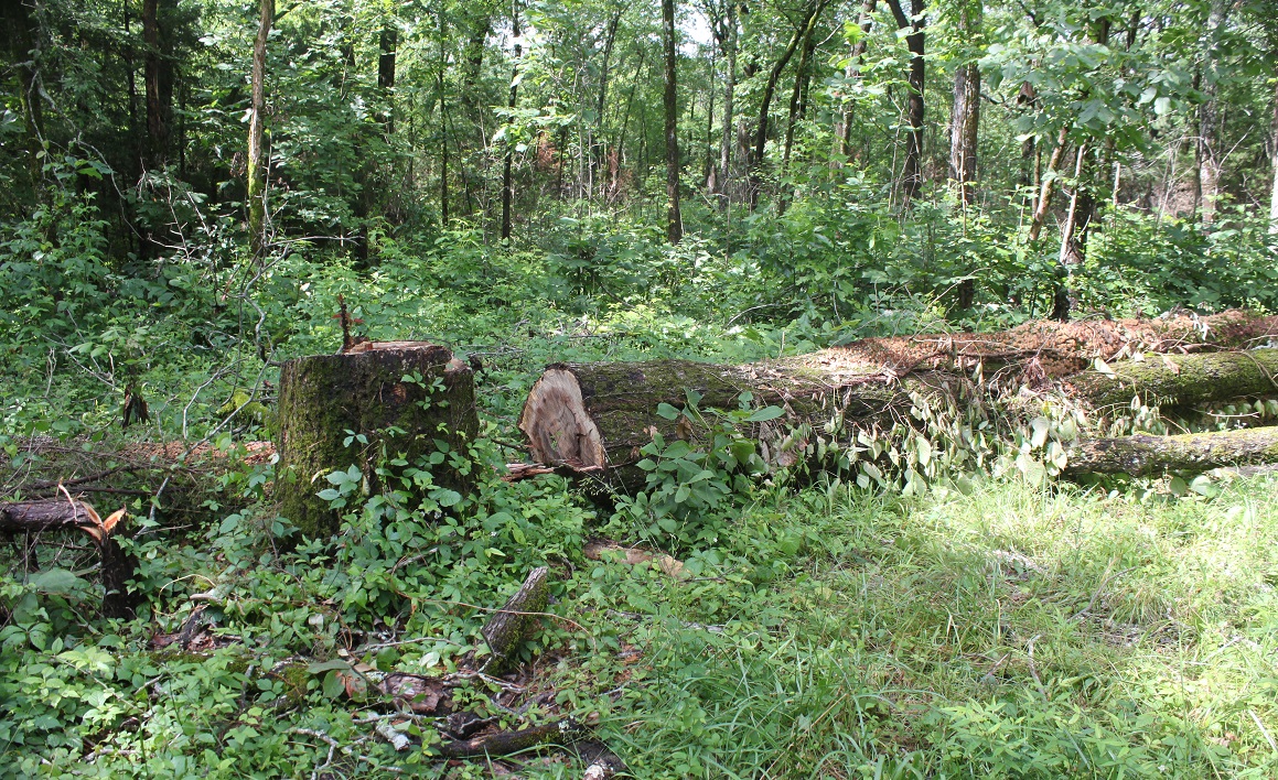
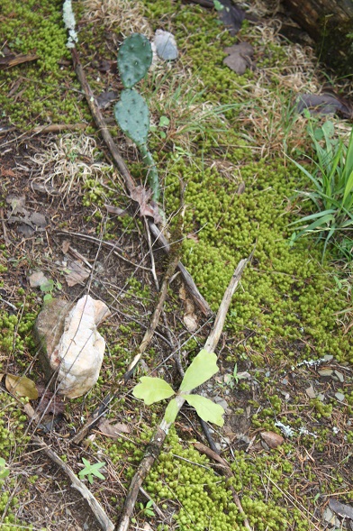
_____, _______, Oxeye Daisy, tree trunks with poison ivy, tree sawn down, moss,
prickly pear. Arkansas
wildfowers.