Southside Rd.
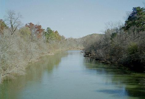
A detour to Oden. Just east one mile of Pine Ridge turn off Hwy 88 and south at the sign for the Little Hope Church, cross the Ouachita River, Pine Ridge Bridge, and look for Southside Road at the Y intersection and take it to the left. This road runs parallel to the river and comes out at Oden where you cross the Ouachita and met Hwy 88, again. Nov. 2006, it is tar sealed all the way. You will pass the Gortemiller Cemetery on your left and the Goodner Cemtery near a large barn on the right where the farmer's messy yard and farmhouse is directly across from the barn. The cemetery is behind the barn. I did not get a photo of that barn. This route can easily be taken in reverse. Off Hwy 88 at Oden turn south past the Oden Cemetery and across the Oden Bridge. Southside Road will be on your right at the first intersection.
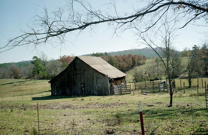
Usually you see the boards vertical not horizontal.
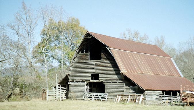
Barn at Hog Jaw. Nov. 2006. Below is an older photo of the same
barn taken from a different angle.
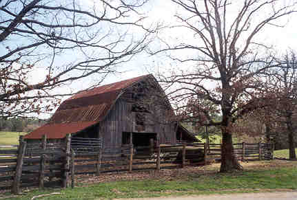
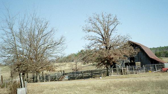
Southside Rd, Hog Jaw. Taken in autumn 1998.