
About Independence County Arkansas... part II
Independence County is a county located in the northeast portion of the U.S. state of Arkansas. As of the 2020 Census, the population was 37,938. Its county seat is Batesville.

Independence County is the ninth county, formed on October 20, 1820, from a portion of Lawrence County. It is named in commemoration of the Declaration of Independence. It is also a 'dry' county with alcohol prohibition in effect.
Geography:
According to the U.S. Census Bureau, the county has a total area of 772 square miles of which 764 square miles is land and 13 square miles is water.
Major Highways:
 U.S. Highway 167
 AR Highway 14
 AR Highway 25
 AR Highway 37
 AR Highway 69
 AR Highway 69 Business
 AR Highway 87
 AR Highway 106
 AR Highway 122
 AR Highway 157
 AR Highway 230
 AR Highway 233
 AR Highway 333
 AR Highway 367
 AR Highway 394
Adjacent counties:
| Official County Link | GenWeb County Link | |
|---|---|---|
| Sharp County (north) | ||
| https://local.arkansas.gov/local.php?agency=Sharp%20County | || | http://www.argenweb.net/sharp/ |
| Lawrence County (northeast) | ||
| http://www.lawrencecountyarkansas.com | || | http://www.argenweb.net/lawrence/ |
| Jackson County (east) | ||
| https://jacksoncountyar.com | || | http://www.argenweb.net/jackson/ |
| White County (south) | ||
| https://www.whitecounty.ar.gov | || | http://www.argenweb.net/benton/ |
| Cleburne County (southwest) | ||
| https://www.cleburnecountyar.com | || | http://www.argenweb.net/cleburne/ |
| Stone County (west) | ||
| https://www.arcounties.org/counties/stone/ | || | http://www.argenweb.net/stone/ |
| Izard County (northwest) | ||
| https://www.izardcountyar.org | || | http://www.argenweb.net/izard/ |
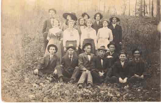
Above image - unknown school kids (Property of Jeannette Harper)